Anthropocene and the river

ARATI KUMAR RAO

back to issue

3000 km, 2 countries, one river: Deep in western Tibet hangs a tongue of a glacier in the mouth of a mythical horse. From the horse’s mouth drops a trickle. A trickle that weaves through the cold dry Tibetan plateau, clear blue at times, emerald at others, folding into itself other trickles, and growing … growing.

This trickle, born Tamchok Khambab, wears a destiny unlike any other river on earth and will take on many names – Yarlung Tsangpo, Brahmaputra, Jumna – and will cross three countries, past regions of many religions, and slither through 3000 km on its long way home to the Bay of Bengal.

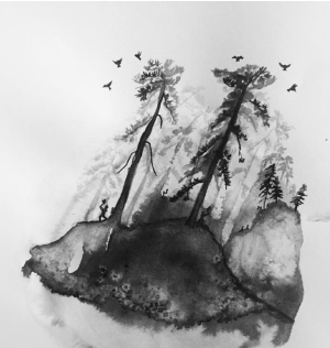
As it winds east, it reaches the regions around Lhasa. Now, it is no trickle. It is simply The Great River: the Yarlung Tsangpo and it is about to do something no river in the world does. After doggedly pushing east for 1625 kms, it changes its mind and turns, bending around the lofty Namche Barwa like a moat, it cleaves the deepest, wildest canyon in the world: the Tsangpo Gorge.

This about-turn brings a change in the river. The mild mannered trickle, the easy-going Great River Yarlung Tsangpo suddenly morphs into a wild, effervescent adolescent spewing mist sky high and frothing dangerous, angry white waters.

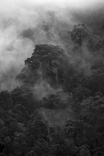
Pro kayakers call it the ‘Everest of Rivers’ and to negotiate the Tsangpo Gorge alive is their holy grail. In this avatar the Tsangpo spills into the dark, lush, thick, dense forests of Arunachal Pradesh.

It is now in India. Dropping a whopping 2500 m over just 200 km, with cascading cataracts, and foaming rapids, the Tsangpo, now called Siang, is about to meet two more massive rivers: the Dibang and the Lohit.

And it morphs yet again. Disgorged and distinctly calmer, the three rivers flood into an ocean-like massive river, the Son of Brahma: the Brahmaputra in India’s Assam.

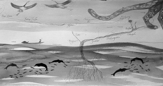
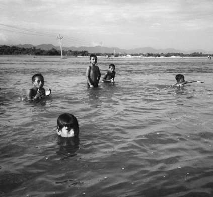
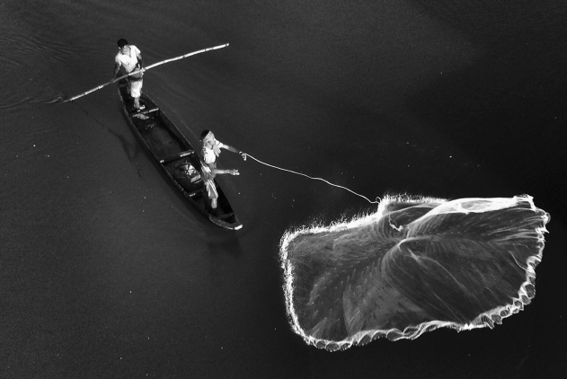
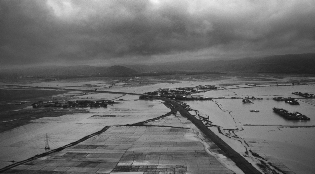
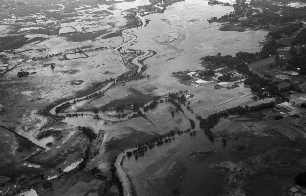
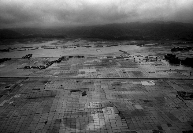
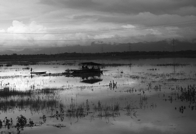
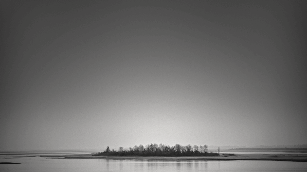
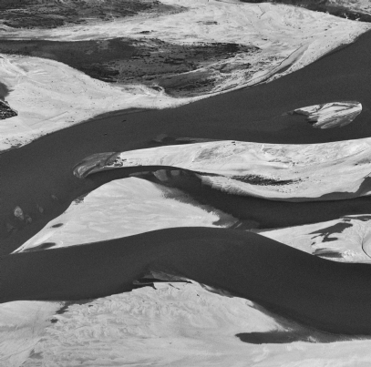
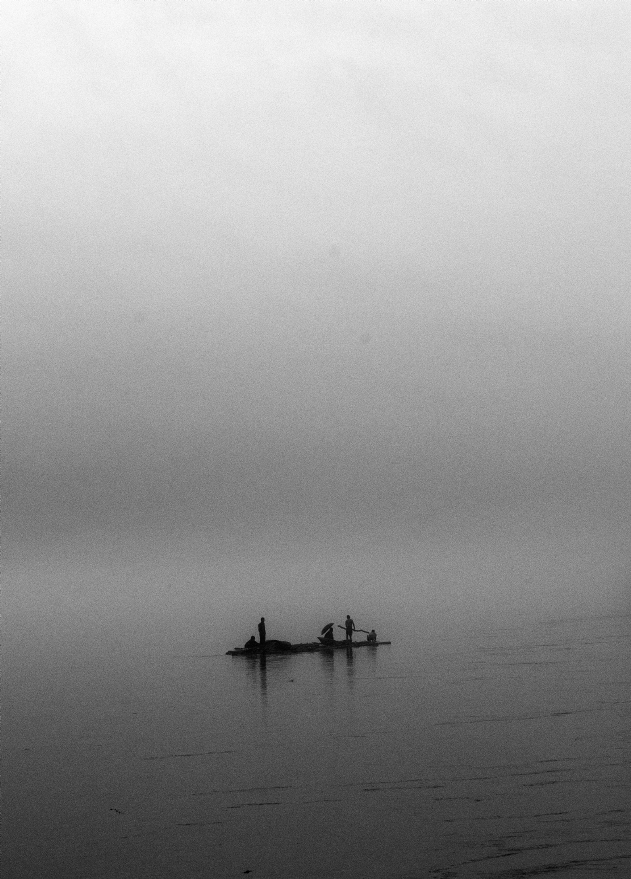
Eddying like a dizzy dervish, with two-speed currents: a faster one undercutting a slower surface current, the Brahmaputra bisects Assam, feeding and watering millions. But its journey, its work, is far from done. Bending yet again southwards, the Brahmaputra writhes its way through Bangladesh renamed Jumna, and meets up with the mighty Teesta and then the Ganges, known as the Padma in Bangladesh. Then, growing a hundred tentacles, winding through the largest unbroken mangrove forest in the world – the Sundarbans, it embraces the Bay of Bengal.

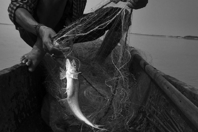
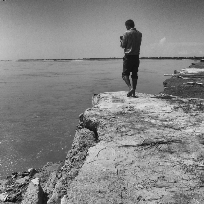
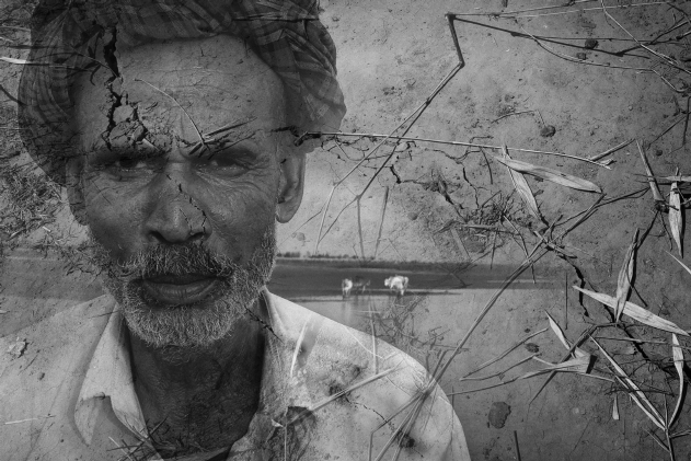
Braiding through three countries, changing names over five times, traversing 3000 km, falling 5300 m from source to sea, this male-monikered river, the Brahmaputra – temperamental and wild, is the life force for 80 million people.


Decline of fish

Small indigenous fish find refuge, eat, and breed around river rocks and fallen logs in the nooks and crannies of soft-flowing streams, and in coves. If you take those ‘obstacles’ away, you destroy vital fish breeding habitat.

Mining rock from rivers, destruction of wetlands, and deforestation is destroying habitat and endangering species. Wetlands serve as fish nurseries. By denying them floods which replenish fish stock and create pockets for fingerlings to thrive in, or by reclaiming wetlands completely, we are decimating fish populations.

Many small indigenous fish in the northeast are in danger of becoming extinct even before science has properly recorded it. In fact, threats to freshwater biodiversity in the northeast cannot be accurately determined due to ‘lack of sufficient data’ on a lot of species.

With the supply of river fish declining by 85-90% over the past decade in many parts of the Brahmaputra basin, fishermen are sliding into poverty. They cannot find enough fish in the river to sell, much less to eat.

In the markets of Dibrugarh, 90% of the fish are trucked in, on beds of ice, from farms in Andhra Pradesh. This is no exception: most cities on the banks of the mighty, once highly biodiverse Brahmaputra now import the bulk of their fish from farms.

The sociological and economic hit the river fisheries are taking is no small matter, and this story is repeating itself all over the subcontinent.


A delusion of dykes

Every year, come monsoon, Assam’s plains flood. That is why they are called floodplains. The Brahmaputra, with over forty tributaries forms the spine of the valley and carries immense amounts of water and silt. The silt is what makes these floodplains fertile and turns them into food bowls for the population of the region and beyond.

Much of the rhythm of life in the valley – including the famed Kaziranga National Park – depends upon seasonal flooding to replenish wetlands and fields.

Dams, dykes (or embankments) and other structures that ostensibly ‘tame’ or ‘protect against’ floods have played havoc with life in the region. Assam alone has 4,400 km of old embankments. Some are over 60 years old. Living out afterlives, way beyond their 25 year lifespan. Weakened, eroded, tired, more than ready to give way. Experts believe that more devastation from swollen rivers have been caused because of these dykes than if they were not to be there. Entire villages huddle in their shadow, secure in the government’s assurance that the river raging beyond will not touch them.

But neglect and age, and interventions like dykes to protect bridges downstream, obstruct natural flows of the river and put immense pressure on already weak structures. They breach. The swollen waters race and swallow whole villages. Embankments also cut off the rivers from their natural path of flooding the plains. As a result the silt accumulates in the main channel, raising the river beds and decreasing the carrying capacity of the river. Then, to increase the carrying capacity of the river, one has to dredge. This throws up another host of issues, all detrimental to the ecosystem.

The mindset of controlling a river, especially one like the Brahmaputra, is one that may need to be fundamentally altered, if one is to seriously address the annual loss of life and property that results from these interventions.


Chars

Chars are silt islands thrown up by the river. Called ‘chaporis’ in Assam, they are neither land nor water. They belong to no one but the river to be reclaimed at will. They are the floating worlds.


Forests

The forests of Arunachal Pradesh in the Brahmaputra basin are tropical evergreen, temperate broadleaf, and mixed forests.

This area encompasses multiple biogeographic regions, extending from southern Bhutan to northern Myanmar – a biodiversity hotspot.


50 shades of grey

‘This is a game of danger and courage,’ the boat-master says in Hindi. Does he mean ‘…danger and daring?’ The word he uses, ‘saahas’, walks a tightrope between the two meanings. We are navigating up the Brahmaputra and the boat-master is reading the river.

The Brahmaputra is a moody river. The path we used in the morning has changed by the evening. Sandbars now rise where water flowed just hours prior. What was deep is now shallow. What was shallow is now deep. With this river, nothing is as it was or as it will be. The Brahmaputra suffers from short-term memory loss.

Driving along the north bank of the Brahmaputra you see futile bridges riding high over fields. The river used to once run there, but has moved away since. Over the years the nature of the Brahmaputra itself has changed. Prior to the 1950 earthquake it flowed deep and spanned just 2 km. Now it runs shallow and, in the monsoon, sprawls across 20 kms.

‘Fog and Darkness,’ says the boat-master. ‘Two reasons you should never be out on this river.’ In a game where you have to read barely discernible shades of grey to survive, hoods – white or black – are best avoided.

Navigating this river is nothing short of art.


top